
File:Arabian Peninsula (orthographic projection).png

Mannària de custa anteprima: 600 × 600 pixels. Àteras risolutziones: 240 × 240 pixels | 480 × 480 pixels | 768 × 768 pixels | 1,024 × 1,024 pixels | 2,000 × 2,000 pixels
Versione a risolutzione arta (2,000 × 2,000 pixels, mannesa de su file: 666 KB, tipu de MIME: image/png)
.png)
Ogetu
| Descritzione |
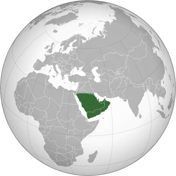
English: The Arabian Peninsula العربية: شبه الجزيرة العربية |
| Data | |
| Mitza | Traballu pròpriu |
| Autore | Afrogindahood |
Litzèntzia
| This map is ineligible for copyright and therefore in the public domain, because it consists entirely of information that is common property and contains no original authorship. For more information, see Commons:Threshold of originality § Maps.
|
Istòria de su file
Carca unu grupu data/ora pro castiare su file comente si presentada in su tempus indicadu.
| Data/Ora | Miniatura | Dimensiones | Utente | Cumentu | |
|---|---|---|---|---|---|
| atuale | 16:14, 7 Mar 2023 | | 2,000 × 2,000 (666 KB) | Treetoes023 | Reverted to version as of 23:11, 6 January 2020 (UTC): This version shows the geographic Arabian Peninsula. |
| 23:24, 24 Ghe 2020 |  | 2,000 × 2,000 (399 KB) | Ham105 | Reverted to version as of 03:49, 7 March 2015 (UTC) | |
| 01:11, 7 Ghe 2020 |  | 2,000 × 2,000 (666 KB) | Sariyr | Reverted to version as of 22:23, 4 January 2020 (UTC): Northern border line between the Gulf of Aqaba and the Kuwait Bay. | |
| 06:06, 5 Ghe 2020 |  | 2,000 × 2,000 (399 KB) | Ham105 | Reverted to version as of 03:49, 7 March 2015 (UTC) unsourced - take it to the discussion page | |
| 00:23, 5 Ghe 2020 |  | 2,000 × 2,000 (666 KB) | Sariyr | Reverted to version as of 02:46, 4 January 2020 (UTC): Northern border line between the Gulf of Akaba an the Kuwait Bay. | |
| 17:37, 4 Ghe 2020 |  | 2,000 × 2,000 (399 KB) | Ham105 | Reverted to version as of 03:49, 7 March 2015 (UTC) | |
| 04:46, 4 Ghe 2020 |  | 2,000 × 2,000 (666 KB) | Sariyr | Northern border line between the Gulf of Akaba an the Kuwait Bay. | |
| 05:49, 7 Mar 2015 |  | 2,000 × 2,000 (399 KB) | Afrogindahood | User created page with UploadWizard |
Ligant a custu file
Sa pàgina chi sighit impreat custu documentu:
Impreu globale de su documentu
Impreu de custu documentu in àteras wikis:
- Impreu in ar.wikipedia.org
- Impreu in arz.wikipedia.org
- Impreu in azb.wikipedia.org
- Impreu in bn.wikipedia.org
- Impreu in ckb.wikipedia.org
- Impreu in cs.wikipedia.org
- Impreu in el.wikiversity.org
- Impreu in en.wikipedia.org
- Impreu in fa.wikipedia.org
- Impreu in he.wikipedia.org
- Impreu in hy.wikipedia.org
- Impreu in hyw.wikipedia.org
- Impreu in id.wikipedia.org
- Impreu in it.wikivoyage.org
- Impreu in kn.wikipedia.org
- Impreu in mrj.wikipedia.org
- Impreu in pnb.wikipedia.org
- Impreu in ps.wikipedia.org
- Impreu in pt.wikipedia.org
- Impreu in si.wikipedia.org
- Impreu in sl.wikipedia.org
- Impreu in sr.wikipedia.org
- Impreu in th.wikipedia.org
- Impreu in ur.wikipedia.org
- Impreu in uz.wikipedia.org
- Impreu in vi.wikipedia.org
.png)