
File:Parque Tanguá, Curitiba.jpg
Mannària de custa anteprima: 800 × 563 pixels. Àteras risolutziones: 320 × 225 pixels | 640 × 450 pixels | 1,024 × 721 pixels | 1,280 × 901 pixels | 2,700 × 1,900 pixels
Versione a risolutzione arta (2,700 × 1,900 pixels, mannesa de su file: 1.38 MB, tipu de MIME: image/jpeg)
Ogetu
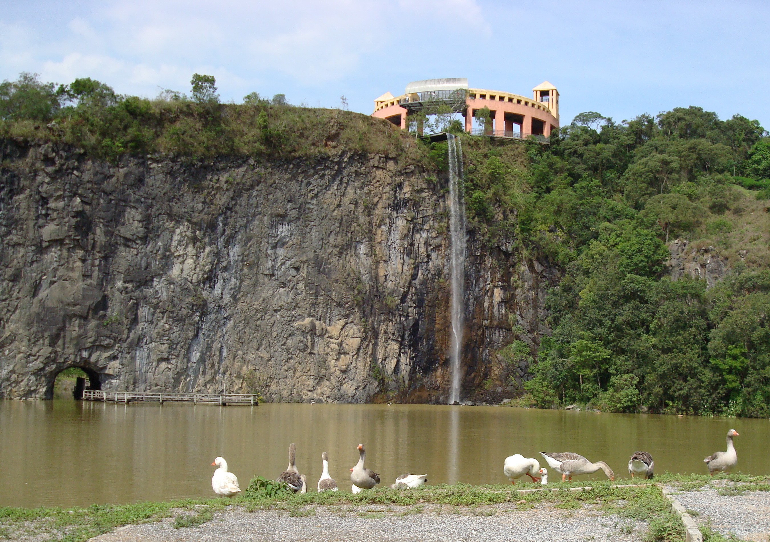
| Descritzione | Área inferior do Parque Tanguá, Curitiba, Brasil. Na foto, a pedreira, o túnel e a cascata que sai da área superior do mesmo parque. |
| Data | |
| Mitza | Traballu pròpriu |
| Autore | Leonardo.stabile |
| Camera location | | View this and other nearby images on: OpenStreetMap |
|---|
Litzèntzia
| I, the copyright holder of this work, release this work into the public domain. This applies worldwide. In some countries this may not be legally possible; if so: I grant anyone the right to use this work for any purpose, without any conditions, unless such conditions are required by law. |
Istòria de su file
Carca unu grupu data/ora pro castiare su file comente si presentada in su tempus indicadu.
| Data/Ora | Miniatura | Dimensiones | Utente | Cumentu | |
|---|---|---|---|---|---|
| atuale | 21:26, 31 Stg 2007 | | 2,700 × 1,900 (1.38 MB) | Leonardo.stabile | {{Information |Description=Área inferior do pt:Parque Tanguá, pt:Curitiba, pt:Brasil. Na foto, a pedreira, o túnel e a cascata que sai da área superior do mesmo parque. |Source=self-made |Date=2007-10-31 |Author= [[User:Leonardo.stab |
Ligant a custu file
Sa pàgina chi sighit impreat custu documentu:
Impreu globale de su documentu
Impreu de custu documentu in àteras wikis:
- Impreu in en.wikipedia.org
- Impreu in es.wikipedia.org