
File:France location map-Departements 1997-2014.svg

Size of this PNG preview of this SVG file: 624 × 600 pixels. Àteras risolutziones: 250 × 240 pixels | 499 × 480 pixels | 799 × 768 pixels | 1,066 × 1,024 pixels | 2,131 × 2,048 pixels | 2,000 × 1,922 pixels
Versione a risolutzione arta (file in formadu SVG, mannesa nominale 2,000 × 1,922 pixel, mannesa de su file: 783 KB)
Ogetu
| Camera location | | View this and other nearby images on: OpenStreetMap |
|---|
| Descritzione |
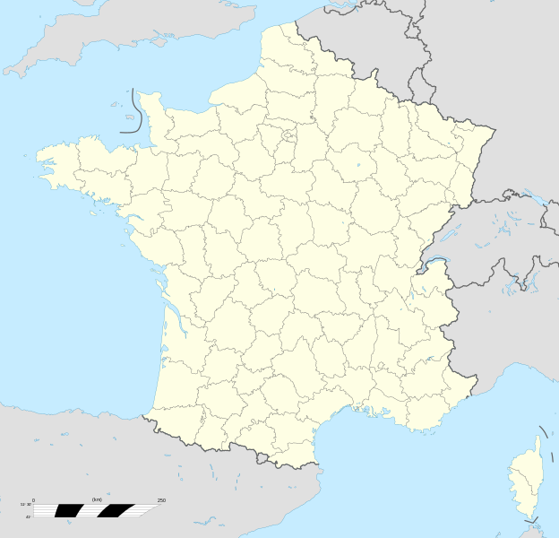
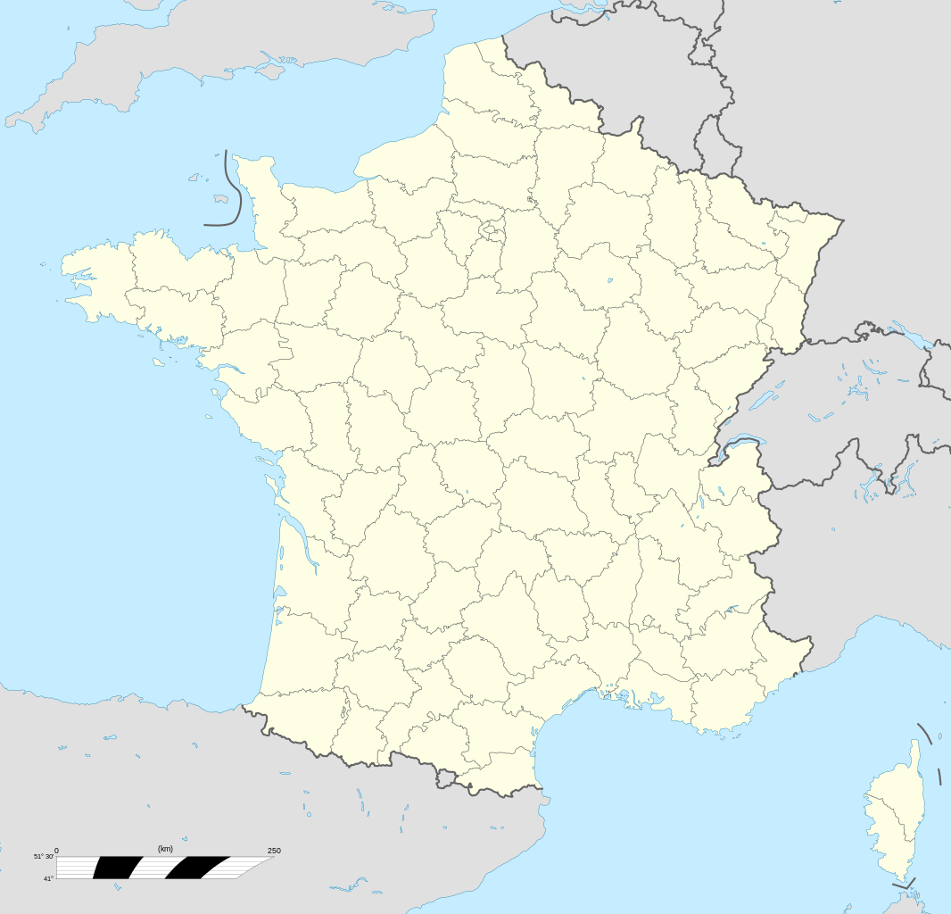
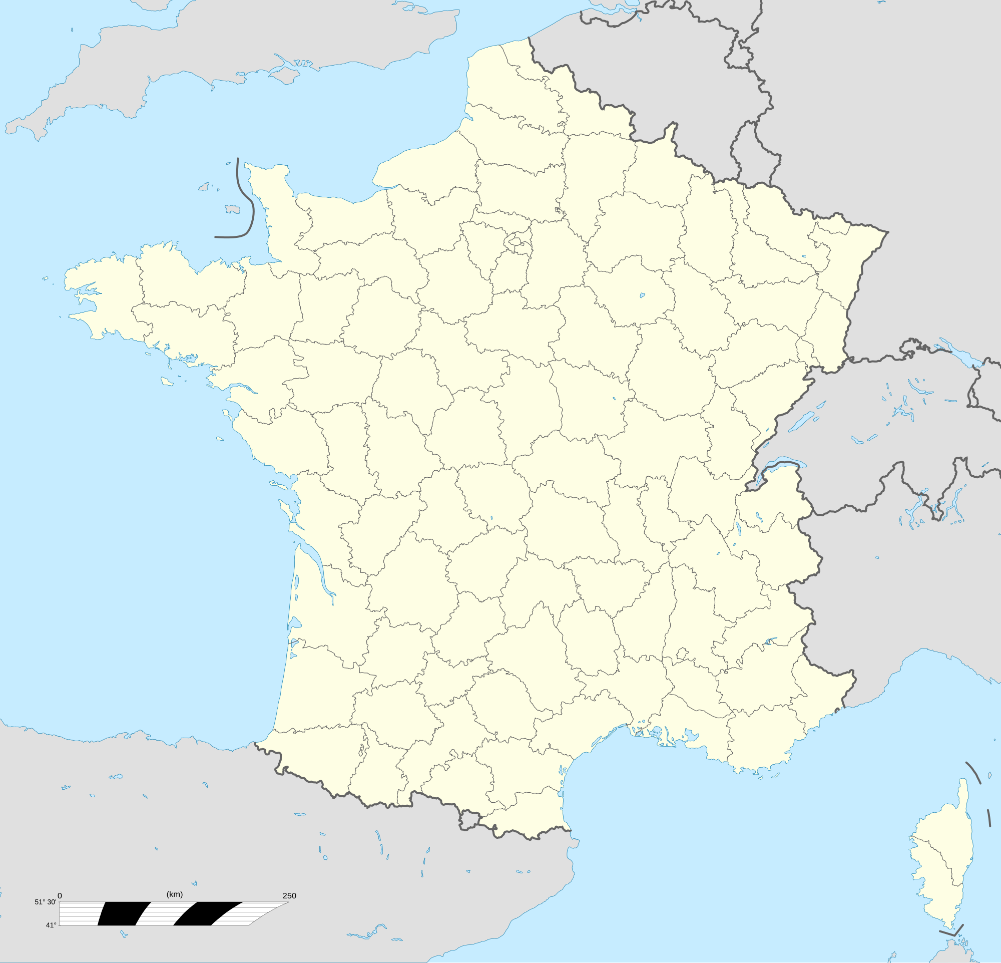
English: Blank administrative map of France for geo-location purpose, with departements.
Approximate scale : 1:3,000,000 Français : Carte administrative vierge de la France destinée à la géolocalisation, avec départements.
Échelle approximative : 1:3 000 000 Equirectangular projection, WGS84 datum
Geographic limits of the map :
|
||
| Data | |||
| Mitza |
Traballu pròpriu
|
||
| Autore | Eric Gaba (Sting - fr:Sting) | ||
| Licèntzia (Comente torrare a impreare custu documentu) |
|
||
| Àteras versiones |
|
||
| SVG genesis |


.svg)
Litzèntzia
I, the copyright holder of this work, hereby publish it under the following licenses:

|
Est permìtidu copiare, ispainare e/o modificare custu documentu sighende sas cunditziones de sa GNU Free Documentation License, Versione 1.2 o cale si siat versione prus noa publicada dae sa Free Software Foundation; chene peruna setzione fissa, perunu testu de cobertedda e perunu testu de palas. Una còpia de sa litzèntzia est inclùdida in sa setzione titulada GNU Free Documentation License. |
This file is licensed under the Creative Commons Attribution-Share Alike 4.0 International, 3.0 Unported, 2.5 Generic, 2.0 Generic and 1.0 Generic license.
- Tue ses lìberu:
- de cundivìder – de copiare, ispainare e trasmìtere s'òpera
- de adatare – de adatare s'òpera
- Suta de sas cunditziones chi sighint:
- atributzione – Depes indicare s'autore comente si tocat, frunire unu ligàmene a sa litzèntzia e indicare si sunt istadas fatas modìficas. Lu podes fàghere in cale si siat manera chi tèngiat sensu, ma no in cale si siat manera chi diat s'idea chi su titulare de sa litzèntzia suportet a tie o a s'impreu tuo.
- cumpartzi a sa pròpria manera – Si modìficas, trasformas, o isvilupas su materiale as a dèpere distribuire sos contributos tuos suta de sa matessi litzèntzia de s'originale o una cumpatìbile.
Podes seletzionare sa litzèntzia chi boles.
Istòria de su file
Carca unu grupu data/ora pro castiare su file comente si presentada in su tempus indicadu.
| Data/Ora | Miniatura | Dimensiones | Utente | Cumentu | |
|---|---|---|---|---|---|
| atuale | 15:53, 19 Stg 2017 | | 2,000 × 1,922 (783 KB) | Sting | No borders over the Lake of Constance |
| 15:19, 7 Std 2008 |  | 2,000 × 1,922 (784 KB) | Sting | + boundary for Channel Islands | |
| 18:37, 23 Aus 2008 |  | 2,000 × 1,922 (782 KB) | Sting | Larger strokes for boundaries | |
| 19:53, 25 Trì 2008 |  | 2,000 × 1,922 (782 KB) | Sting | Variable scale | |
| 16:38, 25 Trì 2008 |  | 2,000 × 1,922 (785 KB) | Sting | Other countries' color ; - border | |
| 22:26, 4 Trì 2008 |  | 2,000 × 1,922 (785 KB) | Sting | == Summary == {{Location|46|15|00|N|02|06|00|E|scale:10000000}} <br/> {{Information |Description={{en|Blank administrative map of France for geo-location purpose, with departements.<br/>Approximate scale : 1:3,000,000}} {{fr|Carte administr |
Ligant a custu file
Peruna pàgina ligat a custu file.
Impreu globale de su documentu
Impreu de custu documentu in àteras wikis:
- Impreu in fr.wikipedia.org
- Impreu in fr.wikinews.org
- Impreu in pt.wikipedia.org